Orthophoto package
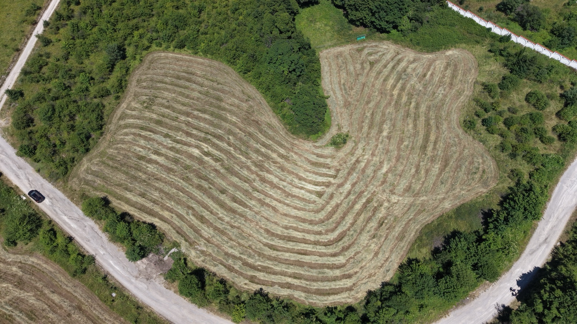
The foundation — an accurate aerial map of the whole field.
- Orthomosaic of the entire field
- Printable PDF map
- Field boundary (polygon)
Service · Farm fields
We hand you the map and the numbers you can actually use — in ready formats for GIS, subsidies and documentation. We don't sell "drone footage", we sell a concrete result.
We answer questions like:
Packages
Five clear services instead of one generic "mapping". Each comes as a ready file you can hand to an agronomist, an insurer or the subsidy system.
The foundation — an accurate aerial map of the whole field.
Precise boundaries for subsidies, contracts and GIS.
Where water collects and where soil moves.
Stockpiles and excavations, measured from the air.
Volumes need the criteria agreed up front.
After hail, flood or other damage.
What you receive
High detail (centimetre ground sampling per pixel). Survey-grade absolute accuracy by agreement, using ground control points (GCPs).